
Reserve Street Safety Action Plan
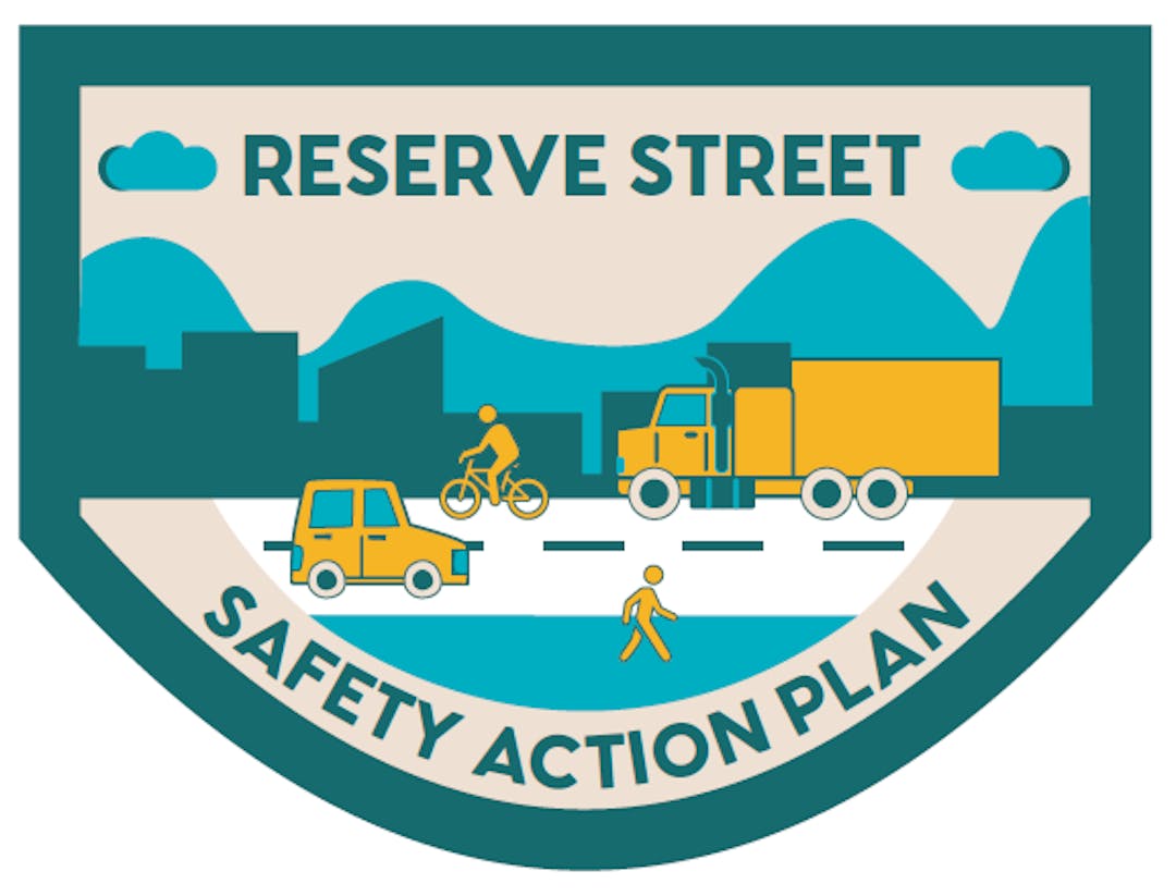
Reserve Street Safety Action Plan: has been formally adopted.
The plan has been adopted as of March 17th by the Missoula Metropolitan Planning Organization's Transportation Policy Coordinating Committee.
We developed a plan to improve transportation safety for all who travel Reserve Street.
The Missoula Metropolitan Planning Organization (MPO), City of Missoula, and Montana Department of Transportation (MDT) developed a to plan for a safer Reserve Street from Interstate-90 to Brooks Street (U.S. Highway 12). This safety action plan was funded by the Federal Highway Administration's Safe Streets and Roads for All grant program. This corridor was selected for a safety action plan due its high crash history and complexity when compared to other corridors in the region.
Project Background:
Reserve Street is a critical part of Missoula as well as part of the larger U.S. Highway 93, which runs north-south through Missoula as a connector to Idaho and northwestern Montana. It functions as a thoroughfare for freight, a passage for retail, a drive home or to work for commuters, and a road that must be crossed for thousands of travelers each day. It serves as a shopping and business district for dozens of retailers. There are multiple neighborhoods and schools that are located along or near Reserve Street. It sees some of the largest traffic counts in the state of Montana. With such heavy and multi-faceted usage, this plan provides an opportunity to identify how Reserve Street can more safely serve all users of all abilities.
This safety plan builds upon the Reserve Street Community Input Project completed in 2021. This project laid the groundwork for understanding the needs and desires from surrounding communities and stakeholders regarding the future of Reserve Street. The safety action plan will build upon prior work to assess the safety of Reserve Street for all modes of transportation and all abilities and includes intersections and driveways along the corridor. Assessment will use public input along with key transportation planning data sources to understand where, why, and how safety challenges arise. Using this information, the safety plan will be able to provide informed safety interventions for implementation across the near, medium, and long term.
Key Project Elements:
The plan includes high-level recommendations for the full length of the corridor with selection for five priority design packages. The plan as a whole integrates data, public and stakeholder input to provide a holistic approach to setting to priorities and solutions to safety along the corridor.
Key safety issues identified:
Left turns and crossing movements without signal control
High travel speeds in certain segments
Safety concerns for people walking and biking
Limited visibility and lighting conditions
Access challenges for businesses and residences along the corridor
The plan focuses on targeted safety improvements that address the most common crash types—particularly those involving turning movements and intersection conflicts.
A major outcome of the plan is the development of five priority design packages, which:
- Focus on high-crash locations across the corridor
- Include conceptual engineering designs and cost estimates
- Provide both near-term (quick-build) and long-term solutions
- Are ready to advance into future project development and funding opportunities
Collectively, the plan’s recommendations aim to create a corridor that:
- Reduces fatal and serious injury crashes
- Operates more predictably and efficiently
- Feels safer and less stressful for all users, including people walking and biking
Implementation and Next Steps:
The adoption of the plan marks an important step, but implementation will occur over time and is dependent on funding availability. At this time, full funding is not secured for the majority of recommended projects. The Missoula Metropolitan Planning Organization (MPO) has programmed funding for select near-term improvements from Package A through the Long-Range Transportation Plan (LRTP), allowing some lower-cost, high-impact elements to move forward. Most of the larger project packages, including intersection redesigns and access management improvements, will require federal grant funding.
The Safe Streets and Roads for All (SS4A) program is expected to be the primary funding source for implementation of many of these projects. SS4A implementation grants require a 20% local funding match, which represents a significant financial commitment for, Montana Department of Transportation (MDT), City of Missoula, Missoula County. While local match funding is not currently available in this fiscal year, regional partners are actively coordinating to identify funding sources, planning for local match commitments in future fiscal years and preparing for upcoming federal funding opportunities. In the near term, agencies will focus on advancing grant applications for priority project packages, continuing coordination between MPO, MDT, City, and County partner and implementing feasible near-term safety improvements where funding is available.
Priority Design Package Overview:
Package A – Near-Term Safety Improvements
- Focus: Quick, cost-effective improvements that can be implemented in the near term
- This package includes low-cost, high-impact safety upgrades across the corridor, such as improved lighting on the Clark Fork River Bridge, speed management signage, enhanced pedestrian crossings at key locations, and signal timing improvements.
- Outcome: Immediate safety and visibility improvements while larger projects are developed.
Package B – Access Management (River Road to Brooks Street)
- Focus: Reducing turning conflicts along a high-crash segment
- This package introduces medians and controlled access points to limit left-turn movements along the corridor. These types of turning movements are a major contributor to serious crashes in this section.
- Outcome: Fewer conflict points, improved traffic flow, and reduced risk of severe crashes.
Package C – American Way Intersection Improvements
- Focus: Addressing safety at a high-crash intersection
- This package evaluates multiple design options — including a signalized intersection, a roundabout, or restricting certain movements — to reduce crash risk at American Way and Reserve Street.
- Outcome: A safer, more controlled intersection with fewer high-risk crossing and turning conflicts.
Package D – River Road Intersection Improvements
- Focus: Improving safety at another critical intersection
- Similar to Package C, this package explores design alternatives such as a roundabout, signalization, or restricting crossing movements to address crash patterns at River Road and Reserve Street.
- Outcome: Reduced severe crashes and improved intersection operations.
Package E – Mullan Road Intersection Improvements
- Focus: Eliminating high-risk turning movements
- This package proposes a design that reduces or eliminates left-turn conflicts from Mullan Road onto Reserve Street, which are a primary cause of serious crashes at this location.
- Outcome: Safer turning movements and reduced likelihood of severe collisions.
What we heard during engagement:
Phase One:
- In phase one of outreach and data collection, our team discovered themes such as concerns about turning left or crossing Reserve Street when there is not a signal, high speeds throughout the corridor, pedestrian and bicyclist safety, traffic congestion, darkness at night and early morning, entering and exiting businesses, and more.
- Data collection also indicated that most crashes occur at or near intersections and involve rear-ends, turning vehicles or vehicles trying to cross Reserve Street.
- Based on this information, the Reserve Safety Action Plan team has developed a potential menu of alternatives along the Reserve Street Corridor to enhance safety.
Phase Two:
- In phase two of outreach, our team presented strategies identified in the Strategies Memorandum included in the documents tab. These strategies combine both data analysis and public input for key infrastructural improvements and are oriented to the most needed and effective safety improvements.
- Boards, committees and stakeholders provided support for strategies that balance short and long-term implementation approaches, balance safety for all modes for transportation and do not bias traffic congestion.
Phase Three:
- In phase three of outreach, our team presented the fivepriority design packages which were identified in the Strategies in the Memorandum. These were selected through public and stakeholder input in phase two of public engagement. These five priority design packages include engineering design and cost estimates providing actionable products for next steps of project implementation. These design packages spanning the corridor can be viewed in detail in the draft plan accessed through the documents window.
- Package A: Includes several interventions aimed to be low-cost, high impact and feasible to implement in a near-term manner. These design interventions include lighting on the Clark Fork River Bridge, Speed Management Signage in the highest speed sections of the corridor, enhanced pedestrian crossings at three key locations, improved signal timing and operations. Public input showed greatest favor towards the Clark Fork River Bridge lighting component.
- Package B: Access Management between River Road and Brooks Street. Access management involves introduction of medians and new controlled intersection points to minimize left turns off of and on to the corridor. These turning movements contribute to the majority serious injury crashes along this section of the corridor.
- Package C: American Way and Reserve Street Intersection: The plan provides three design alternatives to address the crash trends at this intersection. This includes a design that eliminates East/West travel across Reserve Street on American Way, introduction of a signalize intersection and a roundabout. Public input revealed substantial support for for signalized intersection design.
- Package D: River Road and Reserve Street Intersection: The plan provides three design alternative to address the crash trends at this intersection. This include a design the eliminates East/West travel across Reserve Street on River Road, introduction of a signalize intersection and a roundabout. Public input revealed substantial support for the roundabout intersection design.
- Package E: Mullan Road and Reserve Street Intersection: The plan provides one design alternative to address the crash trends at this intersection. The design concept is designed to eliminate left turning conflicts off of Mullan Road on to Reserve Street. These turning movement contribute to the majority of serious injury crashes at the intersection. Public input revealed support for this design but it is not seen as high of a priority as other project packages.

Who's Listening
-

Phone (406) 552-6672 Email menefeec@ci.missoula.mt.us -

Phone (406) 552 6669 Email ingramg@ci.missoula.mt.us
