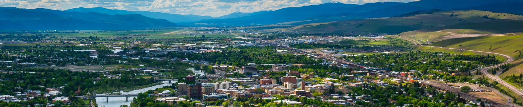
Clark Fork and Bitterroot Rivers Floodplain Remapping
UPDATE: Join us for an open house on Monday, March 23rd!
The open house will be from 6:00 to 7:30 pm on Monday, March 23rd at the Fairgrounds Floriculture Building, located at 1101 South Avenue West.
Property owners who will potentially see changes to their flood designation received a post card in the mail. The event will not include a formal presentation. Residents can stop by any time from 6 to 7:30 to learn about the floodplain remapping project and ask questions. If you are not able to make it to the open house but have questions, contact Cassie Tripard to set up a meeting at TripardC@ci.missoula.mt.us.
Project Description
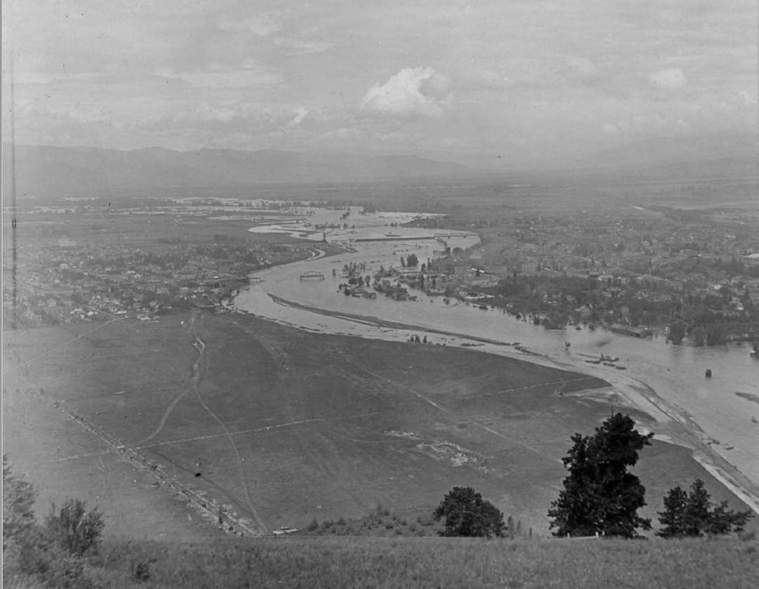
The City of Missoula and Missoula County are working with The Montana Department of Natural Resources & Conservation (DNRC) and the Federal Emergency Management Agency (FEMA), to update the floodplain maps and studies for the Clark Fork and Bitterroot rivers. The new maps are intended to provide more reliable and detailed information about areas prone to flood hazards. The updated maps will replace the current floodplain maps. The current floodplain maps are based on outdated data from the 1970s.
Currently, preliminary maps are available for review. To see how the mapping update may affect your property, visit the map viewer here. New flood insurance rate maps are not expected to be adopted until 2027. Prior to this, there will be a 90 day appeal period. Once dates for the appeal period are available, they will be posted here.
Why is floodplain mapping important to Missoulians?
New modeling technologies and current information allow us to understand the risk of flooding. Flooding is the most common disaster in the United States and can cause immense damage. Understanding where flood risks are present is the first step for protecting life and property. Over time, modeling technology improves and conditions on the ground may change leading to the requirement for periodic map updates. Today, flood studies use the best available data and technology. This includes utilizing high-accuracy topographic information, updated hydrologic data, and modern engineering methods. Much of this technology was not available when the floodplains were last studied in the 1970s.
Once we know where flood risks are present, there are two methods for protecting against flooding. The first is mitigating damage through development regulations. Examples of these requirements include elevating structures above flood water levels, using flood-resistant building materials, and installing flood vents. All of these actions increase the likelihood a structure will survive a flood. These regulatory standards are implemented when someone builds a new structure or alters, substantially improves, or replaces an existing structure. The City and County are tasked with implementing floodplain regulations.
The second method for protecting structures against flooding is flood insurance. Flood insurance ensure that structures can be repaired if they are unexpectedly damaged in a flood. For structures in the floodplain with a federally backed mortgage, lenders will require the owner to carry flood insurance. Insurance is especially important for structures that were built before floodplain regulations because they may not be constructed to withstand a flood. Flood insurance is managed at the federal level.
For more information on the National Flood Insurance Program (NFIP), view the brochure "Answers to Questions about the National Flood Insurance Program." The brochure states "Prior to the NFIP, the national approach to managing flood risk was generally limited to constructing flood-control works such as dams, levees and seawalls. Considering mounting flood losses and the increased burden of disaster relief on taxpayers, Congress created the NFIP with the passage of the National Flood Insurance Act of 1968. Congress intended the NFIP to: reduce future flood damage through enactment and enforcement of floodplain management regulations; and to provide protection for property owners against potential flood losses by offering flood insurance." Though flood insurance may feel like an added cost, it is crucial to protecting your investment from known flood risks. By ensuring property owners can rebuild following a flood, the federal government prevents owners from defaulting on structures with federally backed mortgages due to damage. This in turn reduces the burden on taxpayers. To understand how flood insurance may impact you, talk to a flood insurance lender.
Lastly, floodplain maps are used locally to make City planning decisions and to plan emergency management efforts. With accurate mapping, the local government can identify which areas need to be evacuated in a flood and which evacuation routes will be impacted by flooding. Accurate floodplain maps are crucial to acting quickly in an emergency.
Flood Study Steps
According to DNRC's website, the steps for updating the mapping are as follows:
Step 1 - Survey: Measurements are made of the topography around the river, along with any culverts, bridges, and road crossings. An airplane is used to collect ground elevation over a large area, and Ground Survey supplements the airborne data.
Step 2 - Hydrology: Determines how much water there will be in the river during a flood event. Data from stream gauges will tell how many cubic feet of water per second the river will carry during the flood.
Step 3 - Hydraulics: Once the first two steps are complete, calculations can show where the water will go during the flood. The elevation data is combined with the flood flow data to determine where the water will go when it overflows the channel.
Step 4 - Mapping (delineation): The results from step 3 are combined with the elevation data and official maps to see how far the water will spread out. The area shown to be underwater during the flood is the regulatory floodplain.
Detailed information is available on the DNRC's project page at http://dnrc.mt.gov/divisions/water/operations/floodplain-management/missoula-granite.