Share Clark Fork Islands Recreation Plan on FacebookShare Clark Fork Islands Recreation Plan on X (formerly Twitter)Share Clark Fork Islands Recreation Plan on LinkedinEmail Clark Fork Islands Recreation Plan link
Missoula Parks and Recreation invites you to comment on a draft recreation and resource management plan for conservation lands on the Clark Fork River, adjacent to the Tower St. Open Space, west of Reserve St.
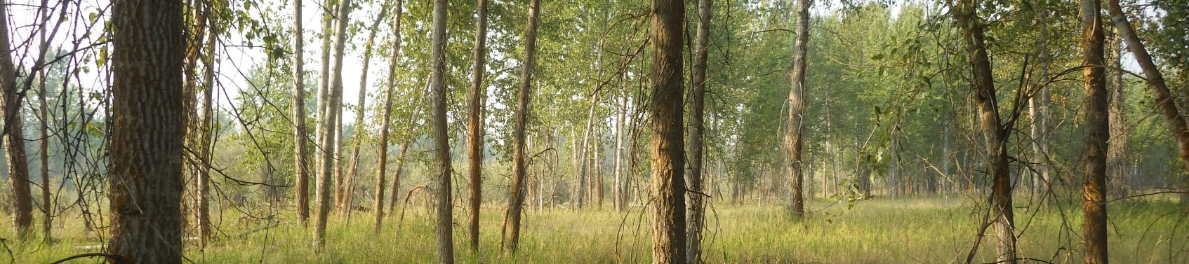
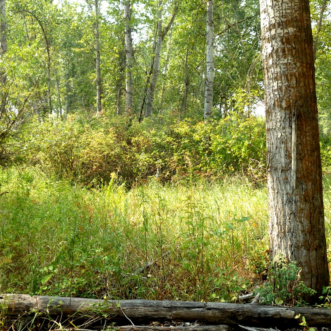
About 126 acres of riverfront and island areas make up the parcel informally called the "Clark Fork Islands." The Islands provide essential plant and animal habitat, unique educational features, valuable ecosystems, and a variety of recreational opportunities. The City acquired the majority of the parcel with funding from the 2006 Open Space Bond.
The draft "Clark Fork Islands Recreation and Special Resource Management Plan" describes proposed recreational development and outlines management priorities to balance recreational pressure with the protection of significant natural and cultural resources at the site. The parcel is home to a variety of plant and animal Species Of Concern (SOC)* including Lewis's woodpecker, Western toad, great blue heron, bald eagles, and Westslope cutthroat trout. Bull trout, federally listed as a threatened species, are also present on the property.
Please take a few minutes to review the draft plan and the attached maps, and share your thoughts with the brief public opinion survey below. Land managers are seeking your feedback on future river access and trails, proposed resource management, and long-range plans for the site. Implementation of the plan will occur in phases over multiple years, as resources and funding allow. Public comment will be accepted via the survey or via email to jandreauc@ci.missoula.mt.us through Sunday, June 7.
Missoula Parks and Recreation invites you to comment on a draft recreation and resource management plan for conservation lands on the Clark Fork River, adjacent to the Tower St. Open Space, west of Reserve St.
About 126 acres of riverfront and island areas make up the parcel informally called the "Clark Fork Islands." The Islands provide essential plant and animal habitat, unique educational features, valuable ecosystems, and a variety of recreational opportunities. The City acquired the majority of the parcel with funding from the 2006 Open Space Bond.
The draft "Clark Fork Islands Recreation and Special Resource Management Plan" describes proposed recreational development and outlines management priorities to balance recreational pressure with the protection of significant natural and cultural resources at the site. The parcel is home to a variety of plant and animal Species Of Concern (SOC)* including Lewis's woodpecker, Western toad, great blue heron, bald eagles, and Westslope cutthroat trout. Bull trout, federally listed as a threatened species, are also present on the property.
Please take a few minutes to review the draft plan and the attached maps, and share your thoughts with the brief public opinion survey below. Land managers are seeking your feedback on future river access and trails, proposed resource management, and long-range plans for the site. Implementation of the plan will occur in phases over multiple years, as resources and funding allow. Public comment will be accepted via the survey or via email to jandreauc@ci.missoula.mt.us through Sunday, June 7.
Share Clark Fork Islands Comment Form on FacebookShare Clark Fork Islands Comment Form on X (formerly Twitter)Share Clark Fork Islands Comment Form on LinkedinEmail Clark Fork Islands Comment Form link